Open spaces in and around Staveley with Ings
Jack’s Corner
Jack’s Corner is on the corner of Main Street and the Mill Yard. It is a small public space where you can sit, choose a book from our book swap cupboard, sit and read it, meet up with friends, eat an ice-cream or just watch the world go by.
Ayland Recreation Ground
Our recreation ground includes a children’s play park, a football pitch, and a great to have a picnic. The Ayland is a great place for hosting large outdoor and sporting events such as the Lakeland Trails and Classic Car Show.
Alec Row
In response to a public consultation Alec Row is being developed to incorporate a small car park, cardboard recycling and a small open space for visitors and residents to sit and enjoy.
The Big Meadow
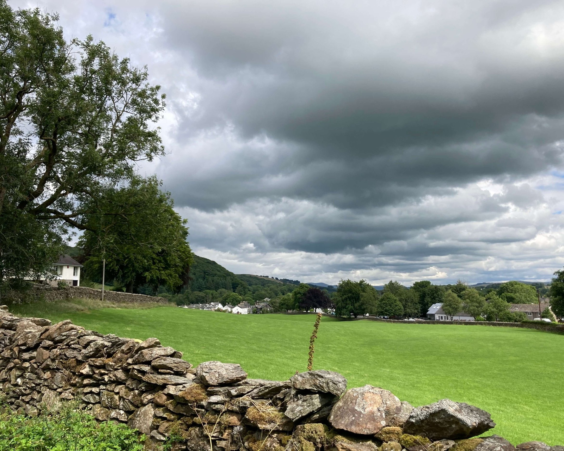
The Big Meadow is situated between Windermere Road and Brow Lane. It almost reaches to the centre of the village and is an important focal space for the many buildings around its edge.
Craggy Woods
Craggy Wood is a beautiful ancient woodland in Staveley. A mixed broadleaf wood, dominated by oak but with planting of beech and larch. There are some magnificent trees on the steep craggy slopes with an interesting range of mosses, liverworts and fungi and good views of the surrounding countryside.
Dorothy Farrer’s Wood
Craggy Dorothy Farrer's Spring Wood is made up of three separate areas of woodland: High Wood, Dorothy Farrer's Spring Wood and Beddard's Wood.
Spring is a great time to visit when Bluebells carpet much of the woodland floor, and you can see patches of wild garlic, early Purple Orchids and the Scarcer Herb Paris.
Reston Scar, Staveley Cragg
Between Staveley and Ings is Reston Scar. If you want to take a scenic route from Staveley to Ings you can set off from Barley Bridge and skirt round the scar.
The summit of the cairn is at 834 feet (254 m) with views out over Ings, the Coniston Fells, the Sca Fells and the Langdale Pikes.
In his book The Outlying Fells of Lakeland, Alfred Wainwright describes the ascent of Reston Scar from Staveley and calls the fell "a fine place for a siesta on a sunny day".
Potters Fell, Brunt Knott, Ulgraves
Potter Fell is a fell near the villages of Burneside and Staveley, Cumbria, England, reaching a maximum height of 1,400 feet (430 m) at Brunt Knott. Alfred Wainwright in his The Outlying Fells of Lakeland identifies four summits on Potter Fell: Brunt Knott, Ulgraves and two unnamed summits. There are a number of tarns on the fell, including Gurnal Dubs and Potter Tarn.
Potters Tarn & Gurnal Dubs
Gurnal Dubs and nearby Potter Tarn are very popular walks from Staveley. Gurnal Dubs tarn is in Access land, Potter Tarn is not.
Gurnal Dubs was formerly three smaller tarns, but the construction of a dam resulted in one larger tarn. A popular wild swim spot.
These locations are quite popular for their tranquil and scenic beauty, making them great spots for walking and enjoying nature.
Kentmere Valley
If you head north out of Staveley along the Kentmere Road, you’ll reach the start of the Kentmere Valley. Although, most of the valley is not in Staveley with Ings itself, it is significant to our community. Not only is it the source of the River Kent, but it includes the horseshoe of high fells known as the Kentmere Round and the Kentmere reservoir.


